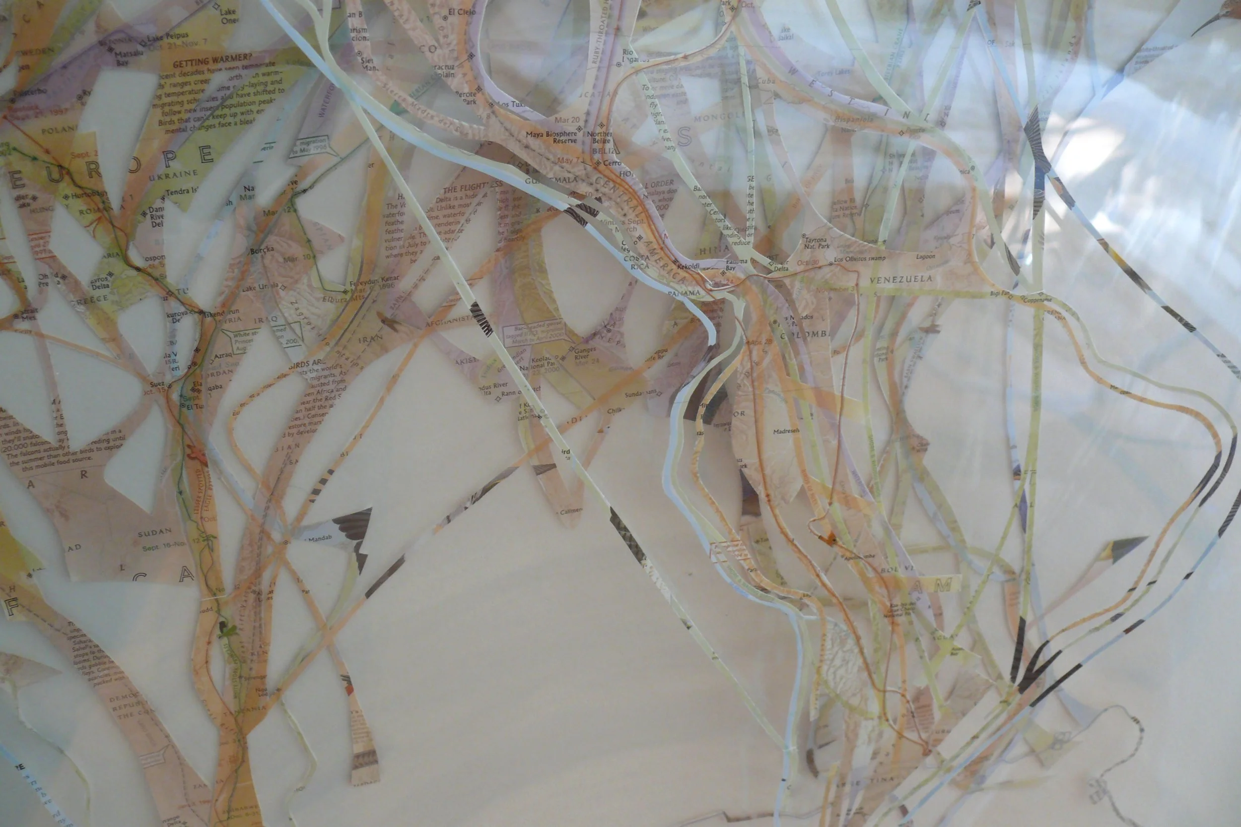
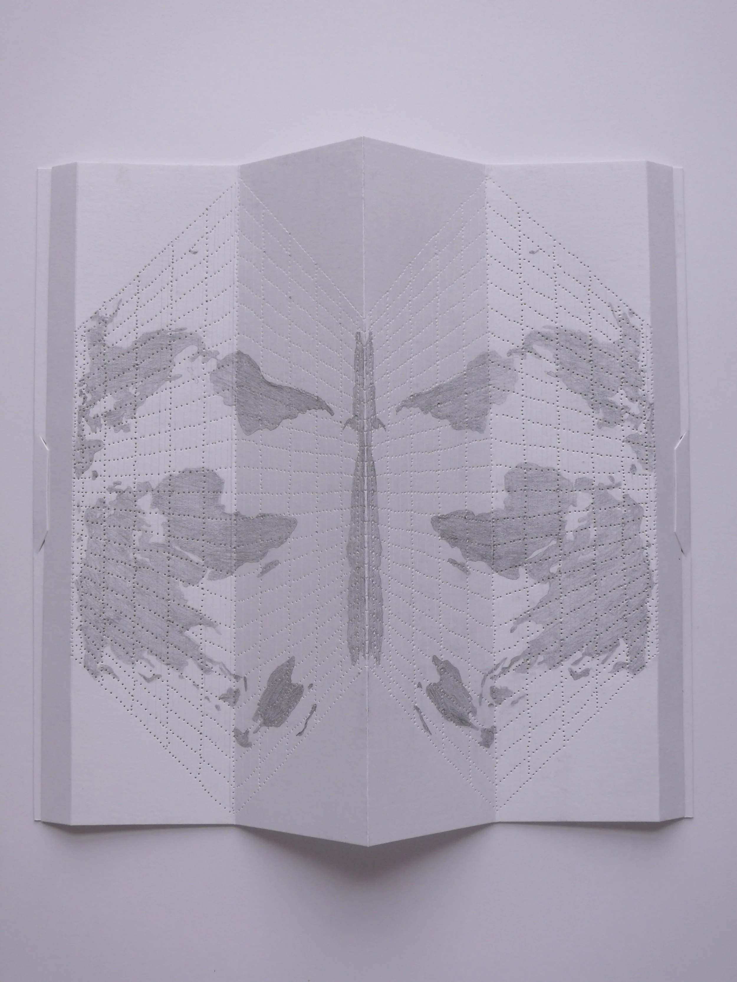
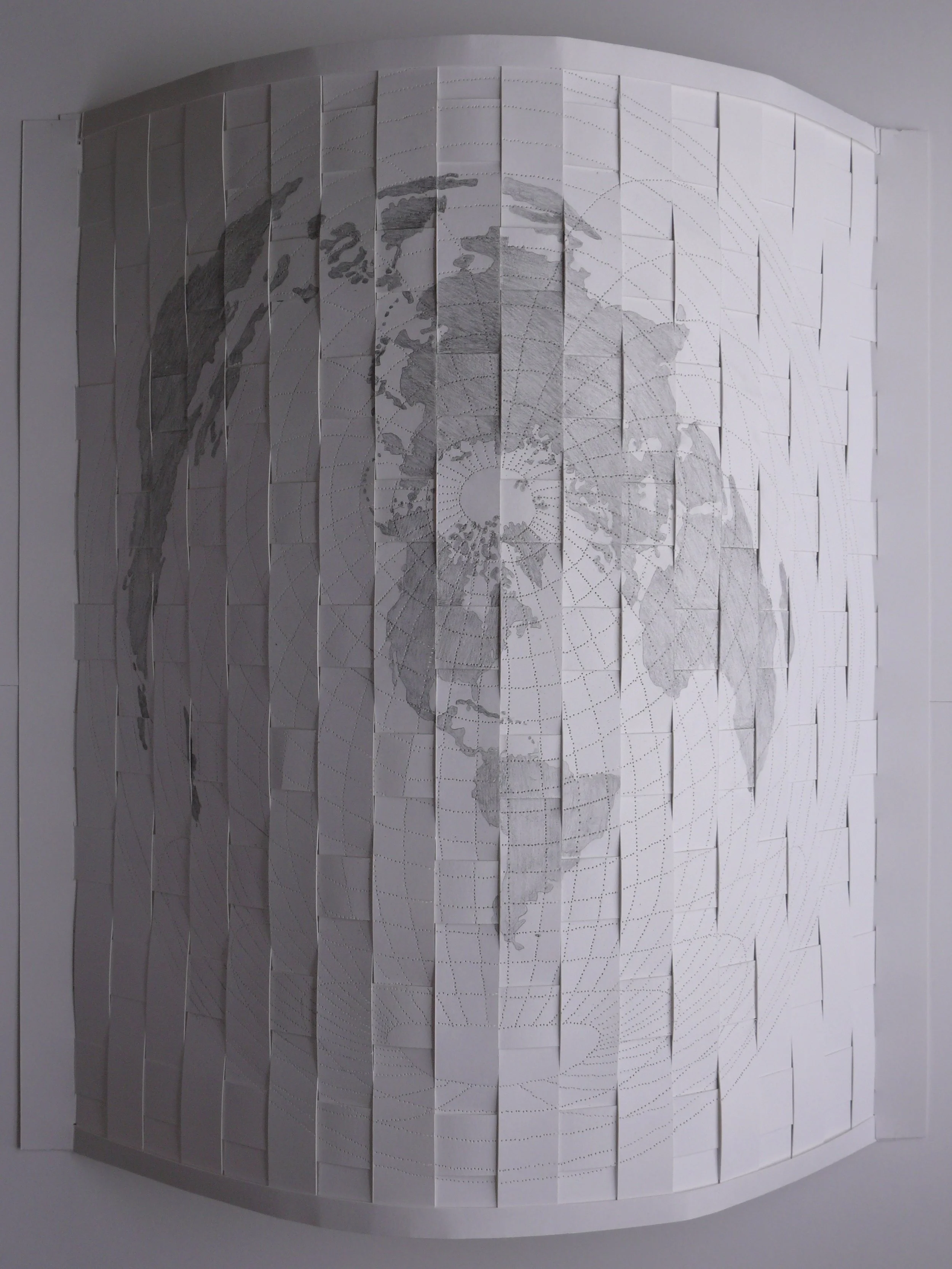
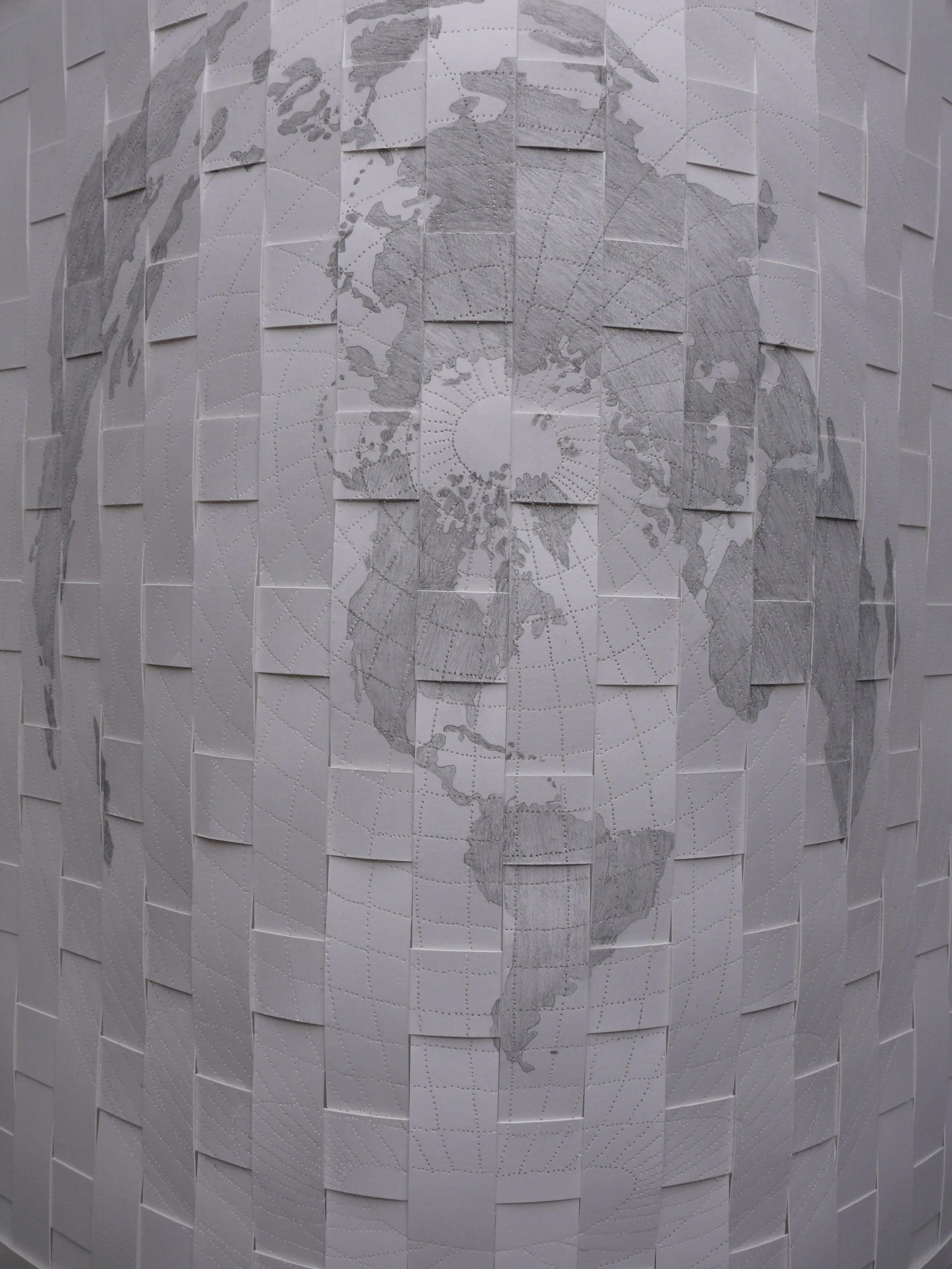
Detail:  Bird Migration Map,  2015, paper, thread, Mylar, 40 x 31.5”
  Global Maps: Shifting Borders , 2015, hand-cut paper, ink, mylar, magazine pages, 45 x 63 x 12"
  Cut Global Map , 2015, hand-cut paper, ink & Mylar, 40 x 40”
  Mapping , Exhibition at Carroll Square Gallery, Hemphill, Washington DC 2011
maps40.jpg
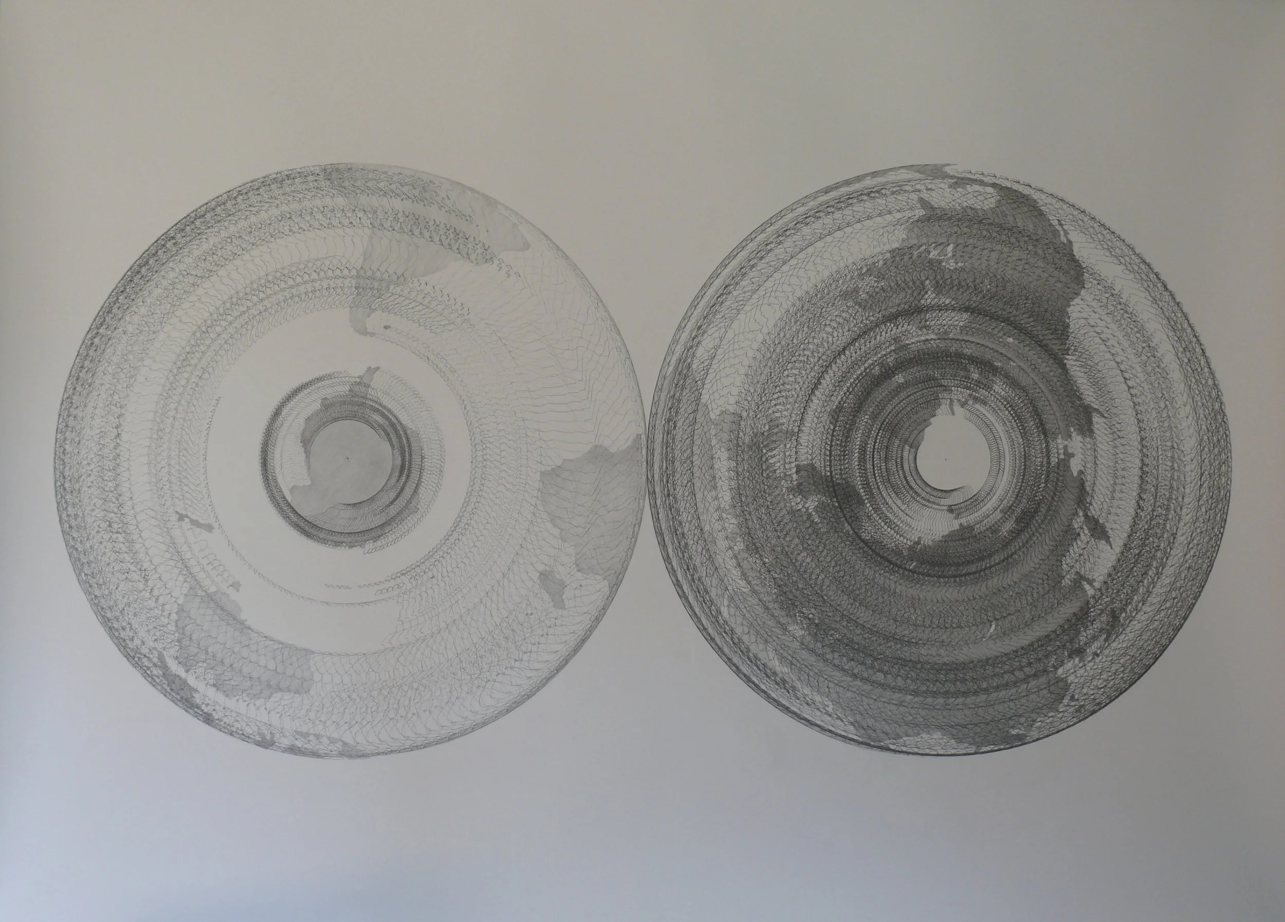
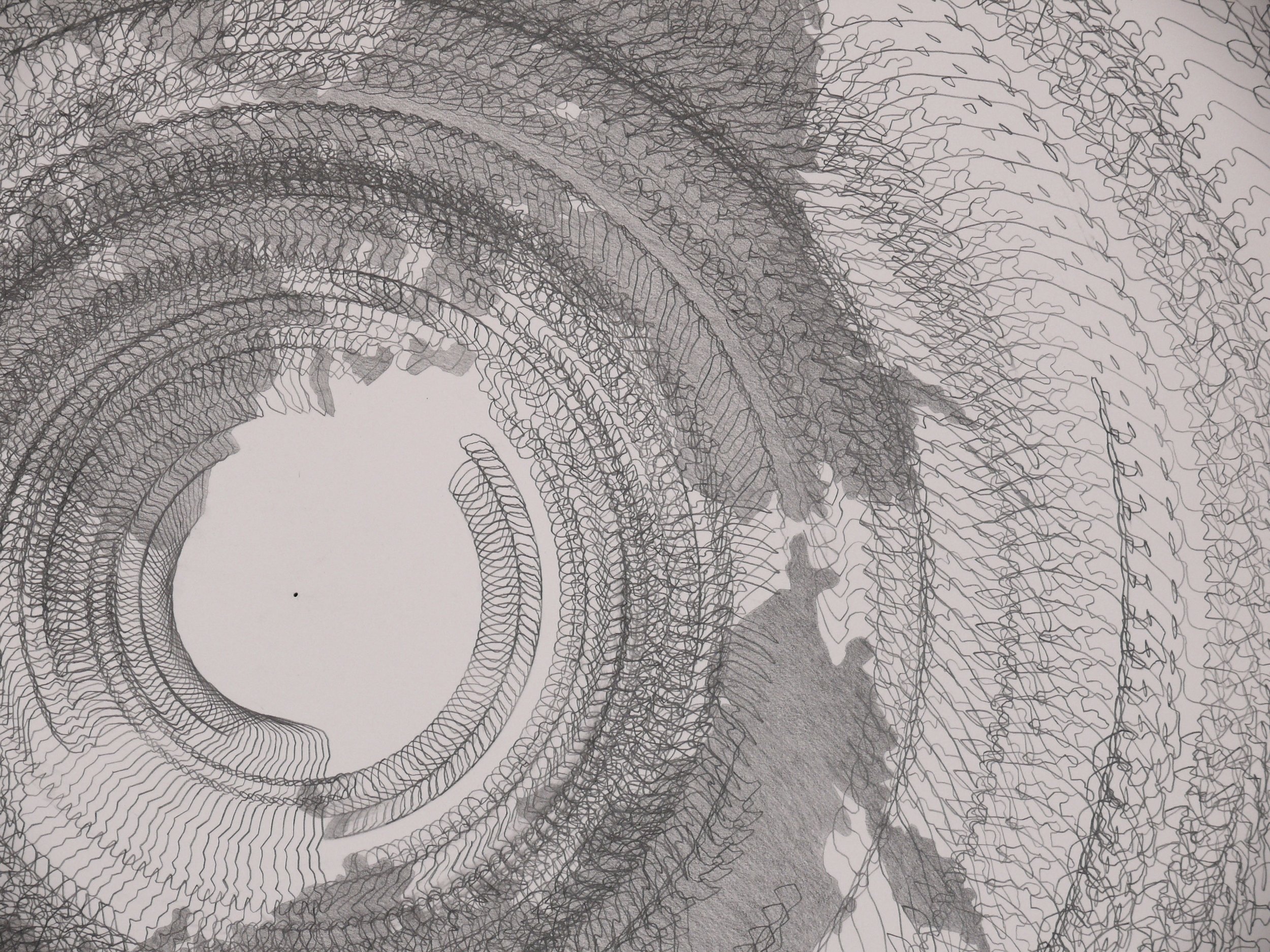
  SPIN: 5 degrees/20 minutes for 10 hours , 2011, graphite on paper, 52 x 72"
5Degrees:20 minuteRotationDETAIL.JPG
  Longitude/Latitude & Northern Continent Lines , 2008, graphite on paper, 51 x 42 x 10"
  Longitude/Latitude & Global Continent Lines , 2008, graphite on paper, 64 x 24 x 13" (vertical)
  Hidden Globe , 2008, paper, vellum and graphite, 49 x 57 x 16"
  Rolled Globe: North of Equator , 2008, paper & halogen light, 7 x 53 x 7"
  Jet Stream over U.S. , 2/22/2010, hand cut paper, light, 56 x 35 x 3"
  Jet Stream over U.S. , 2/2/2010, hand cut paper, light, 56 x 6 x 6"
 Detail:  Jet Stream over U.S. , 2/2/2010, hand cut paper, light, 56 x 6 x 6"
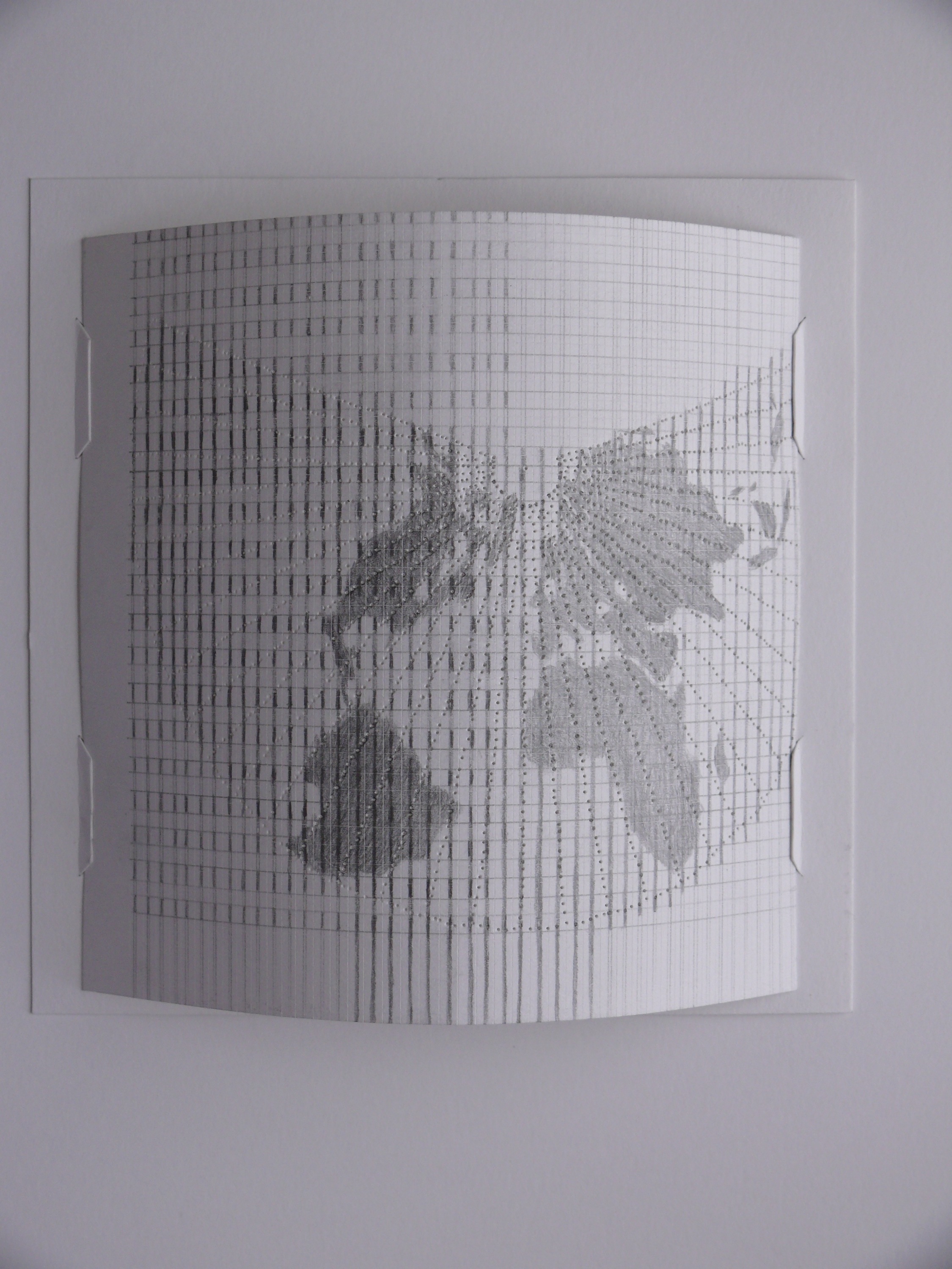
  Constructed Map I , graphite on punched paper, 12 x 12” 2010
  Constructed Map II , graphite on punched paper, 12 x 12” 2010
  Constructed Map III , graphite on punched paper, 18 x 14” 2010
 Detail:  Constructed Map III
  The New Oil: New Mexico Water , 2008, paper, 59 x 50"
  Top Ten Oil Extractors in 2007 , 2008, paper, 52 x 70"
 Detail:  Top Ten Oil Extractors in 2007 , 2008, paper, 52 x 70"
  Projections 1 , 2007, tyvek, dimensions variable
  Untitled , 2008, paper, 62 x 82" (layered longitude/latitude lines of various global maps)
  Desert City: New Mexico/Texas Natural Gas and Liquids Pipelines in 1987 , 2008, paper, 52 x 45"
 Detail:  Desert City: New Mexico/Texas Natural Gas and Liquids Pipelines in 1987
  Bird Migration Map,  2008, cut migration map & glassine, 40 x 28”
 detail:  Bird Migration Map,  2008, cut migration map & glassine, 40 x 28”
  Bird Migration Map II,  2008, cut migration map & glassine, 40 x 50”
  Black Hole: Iceberg , 2007, paper, shelf, lights, 52 x 62 x 13"Image 14 of 49
 Installation view:  Longitude/Latitude  at Ellipse Art Center, Arlington, VA, 2007
 wall:  Longitude(Latitude): Diptych , 2007, pencil, paper, pins.   table:  Projections III , 2007, table, tracing paper, blackboard paint, 36 x 72 x 35"
  Projections III , 2008, table, tracking paper, blackboard paint, 36 x 71”.  Tracing paper moved by viewers so the organization of shapes are continually altered and rearranged
maps38.jpg
  Double Globe: Longitude, Globe, Equatorial Flat Map: Bonne,  2005   Installation view of three works in Rosenberg Gallery, Goucher College, Baltimore.
  Globe , 2005, paper, pins, light, 54 x 50 x 9"
  Double Globe: Longitude , 2005, paper, pins, 32 x 30 x 15"
  Equatorial Flat Map: Bonne , 2004, paper pins, light, 34 x 50 x 12"
  Wind Currents II , 2007, paper, 19 x 29"
  Flat Map I , 2007, paper, light, 24 x 19"
  Flat Map IV , 2009, paper, light, 19 x 24"
  Flat Map V , 2009, paper, light, 24 x 19"
  Flat Map VI , 2009 paper, light, 24 x 19"
  Flat Map II , 2007, paper, light, 24 x 19"
  Ptolomy's Map , 2005, paper, pins, light, 36 x 50"
  Wind Currents: Mean Directions & Stream Lines , 2005
 Detail:  Wind Currents: Mean Directions & Stream Lines , 2005
  Current Events: Tsunami, Oil Reserves & Shipping Lines , 2005, graphite & felt on wall, Rosenberg Gallery, Baltimore, MD
 Detail:  Current Events: Tsunami, Oil Reserves & Shipping Lines , 2005, graphite & felt on wall, Rosenberg Gallery, Baltimore, MD
  Northern/Southern Sky , 2004, paper, pins, light, 70 x 90"
 Detail:  Northern/Southern Sky , 2004, paper, pins, light, 70 x 90"
 Detail with light from back:  Water Currents , 2004, paper, 34 x 64"
 Detail with light from front:  Water Currents , 2004, paper, 34 x 64"
  Reversed Globe: B. Fuller , 2004, paper, pins, 34.5 x 70"
 Detail:  Reversed Globe: B. Fuller , 2004, paper, pins, 34.5 x 70"
  Milky Way , 2004, paper pins, light, 34 x 64"
 Detail:  Milky Way , 2004, paper pins, light, 34 x 64"
  Three Flat Maps Curled , 2004, paper, 17 x 60"
  Three Flat Maps Curled , 2004, paper, 17 x 60"
prev / next